 A LiDAR scanning and Drone Service Provider
A LiDAR scanning and Drone Service Provider
 SCANNING SERVICE
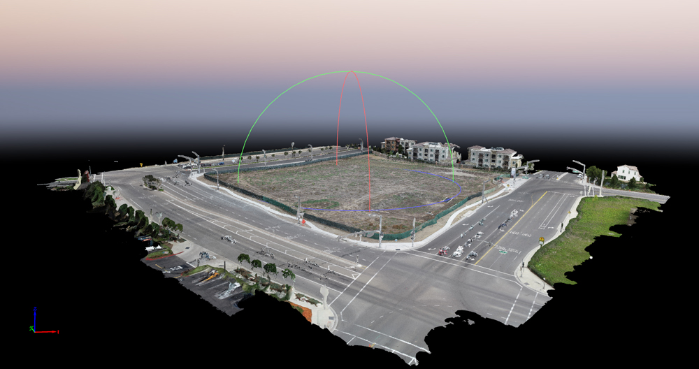
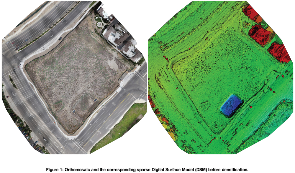
107Vision 3D modeling combines drone based imagery with LiDAR 3D scans, creating full-color panoramic images overlaid on a high-accuracy point cloud.
- Scans with up to 4 mm accuracy
- FLIR technology based longwave infrared camera
- 15 Mpixel camera system
- Mark up, tag and collaborate on scans while on the job site
- Data export in .PTS, .PTX and .E57
- Reduce rework requests and share reality data remotely
3D Virtual Tours --- try full screen mode! ![]()
Matterport service provider - Indoor / Outdoor (Bright sun? No problem!)
Email us to schedule a consultation, for pricing, and/or for further information: info@107Vision.com